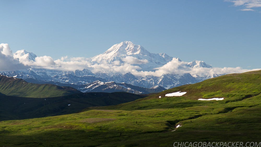
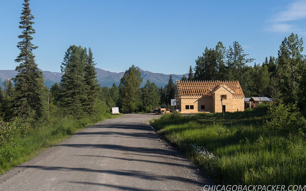
Cycling Petersville Road
Alaska 2016 - Part 2
…continued from Part 1: The Alpenglow of Denali
I spent a rainy day resting in Talkeetna, a tiny forest town with a handful of cross streets and one general store with most of the supplies I needed. In the summer, it has large crowds of tourists, backpackers, and mountaineers staging to climb Denali. The hostel was just down the street from the airstrip, where flightseeing companies take tourists out to glacier landings, or drop off mountaineers and supplies at the Kahiltna Basecamp.
Some of the climbers stay at the hostel to work out logistics. That night, I met Alistair, a mountaineering guide who leads people up Denali for a living. I didn’t originally want to do it because of the price, but he was the one to convince me that a flightseeing trip over the range with K2 Aviation would be the best flight of my life. I figured he was right, and took him up on the idea. First, though, I wanted to do my planned bike trip up to the foothills.
With 15 years of experience and a career based very largely on predicting Denali’s weather patterns, it was Alistair’s professional opinion that the rain would clear out late tomorrow, giving me a window of about 3 days to see Denali. So if I played this right, I would ride my bike for 60 miles from Talkeetna to Petersville tomorrow in the rain, hike out the next day to Long Point on the summit of Peters Ridge amidst clearing weather, come back to Talkeetna on the third day, and on the fourth, I would go on the flightseeing trip, yielding plenty of Instagram-worthy shots of the mountains like the self proclaimed Like-whore that I am.
I was game for all of it. As expected, the ride out from Talkeetna the next morning was one really long series of downpours. I rode 35 miles from Talkeetna to Trapper Creek, completely soaking wet. From there, I turned west on Petersville Road for mountains and hard times.
As the sole pathway into the south foothills, it once served as a road leading to gold mines dated as far back as the late 1800s. Now it’s mostly used by locals to hunt, fish, ride ATVs, or work the privately owned mines for their own killing. I was going out there to climb up to Long Point, the summit of Peters Ridge, which has an awesome view of Denali from the south.
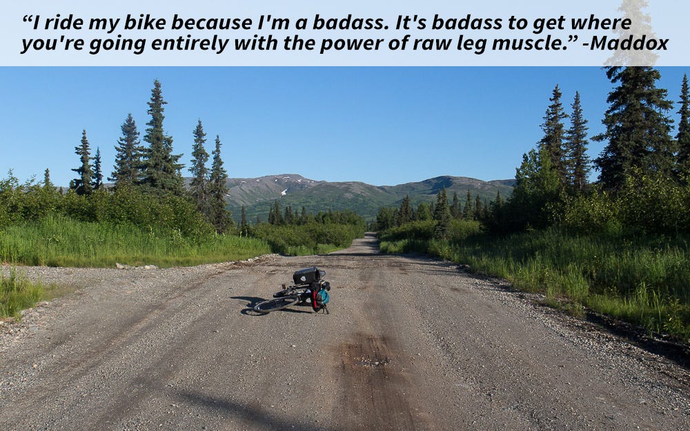
After 10 miles, the pavement ended and I was sliding on fresh gravel. I could use bigger tires for shit like this, I thought, but I managed. Rain continued. The road mostly went through forests with a lot of steep creek crossings and gradual gain as I made for the mountains. The inherent raggedness of it aside, the road was well maintained in the summer.
The rain finally let up with 20 miles to go when a local guy on a mountain bike caught up with me. We talked for a while and he told me all about the nuances of fishing rainbow trout, none of which I can remember. He pulled off to a nearby cabin where he planned to stay and catch something tomorrow.
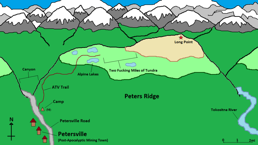
After a few miles, I descended a steep creek canyon and reached Petersville, an old mining town on the edge of the range. There were seven houses, only one of which appeared habitable. The others were dilapidated and boarded off – decaying before the backdrop of the ridges and dark clouds of the day, like a post-apocalyptic mining town.
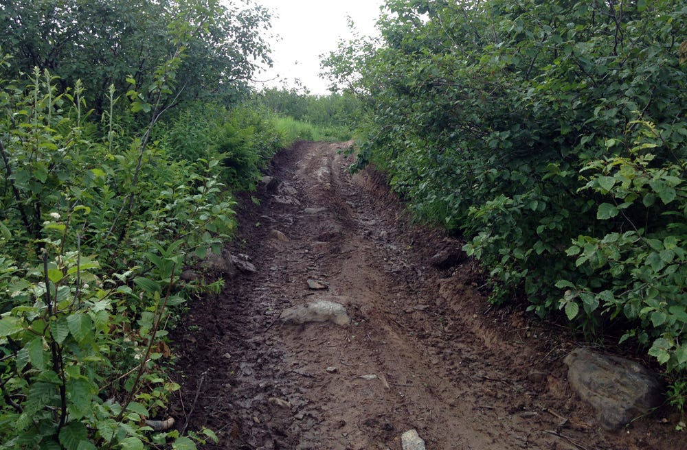
I came around a turn and saw the ATV track to my right, marking the climb I planned to do up the mountain. It was very steep and muddy from the rain. Anything short of a fatbike wouldn’t have a chance in hell of climbing it. And I couldn’t carry all of my gear in my hands either. All I could do was set up camp next to the trail and head up tomorrow with a lighter pack.
When I started the next morning, it was still cloudy but pleasant. I hiked up the steep face of the ridge as the valley behind came into clear view. Soon, I was hiking out of the woods and into the tundra. The trail wound about the steep curves of the high ridge, and was a lot tougher than I expected.
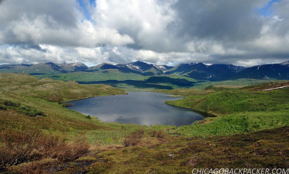
I got to a section of ponds, marking the first four miles of the hike. I tried to filter water here, but my filter got clogged yesterday at the creek next to my tent. It still worked, but would only filter a few drops at a time at a rate of 15 minutes a gulp. Two water bottles is enough for a day hike, right?
Soon, the trail faded into a field of spongy tundra. From here, I had to bushwhack across two miles of the ridge saddle with a few creek crossings and big willow thickets. I learned pretty quickly that the Alaska bush is no joke. It was continuous spongy, knee high tundra, hummocks, and creeks with 8 foot cut banks that won’t show up on a terrain map. And this was just sub-alpine tundra; when you get down to the trees it’s even worse.
I hated to leave my tent at the bottom and venture into this. But the good thing was that I brought a SAR beacon with me on this trip. So if I did screw up and had to get help, I could use it to relay my GPS to a satellite and Search and Rescue, and get a chopper within the hour. One travel blogger who I follow had to do this in New Zealand after he broke his leg hiking in a remote canyon. His SPOT call got him out pretty quickly. It’s reassuring that I have a way to signal distress and don’t need to worry about getting Munsoned out in the middle of nowhere.
There was one last steep climb up to the high ridgeline and then two easy miles out to the summit. The mountains to the north came into view, huge and majestic. Clouds still covered Denali, but there was still plenty to see.
Finally, I reached Long Point, the summit of the ridge. To the north, the icy husk of the Tokositna Glacier curved around the mountains ahead for 30 miles before emptying into the moraine far below. Just across the Tokositna Valley, the ragged spires of the Tokosha Mountains carved into the grey sky like razors. Behind me, the Talkeetna Mountains stood above a huge forest and the snaking bends of the Chulitna River. And far to the south, the Chugach Range and Matanuska Valley loomed in the summer haze. I set up my camera for what ended up being a 90 minute shot (edited to about 5 seconds in post) of the mountains and fixed dinner as the clouds blew across the rocky wilderness.
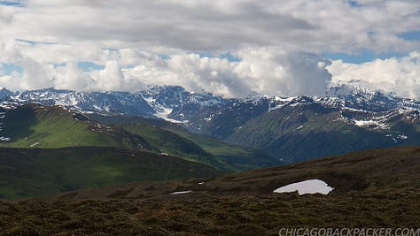
It got to be late afternoon, and Denali still didn’t show itself. I knew that the weather was supposed to clear, but didn’t know how soon. I didn’t want to stay up there, exposed on the high ridge any longer and decided to go back. I trotted down the ridgeline and hacked back through all of that shitty tundra and willow bramble. I figured it out later that in that section, I was going one mile an hour.
Close to the end of the afternoon, Denali cleared. This shot reminded me of Stony Hill, the iconic vantage from the park road. Different side, same mountain. I scrambled up one last 30 foot bluff to a familiar rocky outcropping and got back on the ATV trail, leaving the high ridgeline for my tent.
I finally made it back in the mid-evening for an awesome night sleep under clear skies. It was the Summer Solstice, the shortest night of the year.
The next day, I was flying back on the road on a perfect bluebird morning. Several locals stopped to ask what I was up to – probably out of curiosity, and perhaps to make sure I knew what I was doing. Which I understand.
Rest assured, I know it’s tough country, and I don’t want to pull a Chris McCandless out there. I’ve spent years learning and preparing for trips like this.
Soon I got to pavement, water, and cellphone service. I reserved a flightseeing trip for the first one out the next day. I saw Denali from both sides of the range. It was time to see it from the air.
This story continues in a little red plane.


