Cycling the Richardson Highway
Alaska 2016 - Part 6
…continued from Part 2: The Glenn Highway
Two major highways meet at the junction at Glennallen. It has one gas station, which gets a ton of business in the summer. Most people stop there because there isn’t much else around. There were two bathrooms, and one of them was out of order. So a lot of tourists waited in line to use the other one. I had to use it because I didn’t want to take a dump in the woods earlier that morning (honestly, how often do any of us shit in the woods?), and didn’t know where else to go. Nobody was waiting when I went in, and I tried to go as fast as I could. I came back out to a line of four people. Well, time to get my bike and keep going.
This was the third and final phase of the 450 tour: The Richardson Highway. Here, I would head south along the Copper River Valley for 20 miles, camp out at the Tonsina River, and then take the next day to climb over Thompson Pass. The ride would end in Valdez, where I would stay the night, and then take a Whittier-bound ferry across the Prince William Sound.
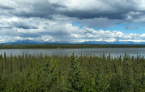
I started south. The midday sun blazed in the northwest as I rode along the bluffs of the mighty Copper River, looking out when I could at the vast mountains of Wrangell-St. Elias National Park. Its peaks range from 12,000 to 18,000 feet, reminding me of the Cascades of the Northwest. Originally, I thought to incorporate a 2-3 day packrafting trip down the Copper River to Cordova, somehow rigging my cycling gear on the raft. When I read that this river has its share of dangerous eddy lines and katabatic wind-driven sandstorms downstream (yes, I’m serious), I decided on the relative safety of the highway instead. But even that wasn’t entirely safe, as I would be flying down a mountain pass tomorrow.
I had one huge hill to clear before a steep descent to the Tonsina River and somewhere quiet to set up my tent. I camped outside of the Russian owned Tonsina River Lodge, fueling up on meat, beer, and caffeine. That night, the 4am sky glowed in what was already a new day in the boreal summer.

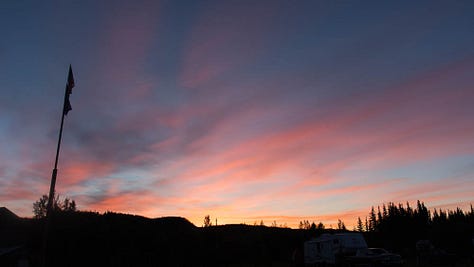
I started before the sun came over the mountains. It was supposed to be another hot day on the coast, which doesn’t happen often. I lucked out this summer, as a lot of my outdoor trips ended up having great bluebird weather. Hot as they often were, I would take that over cold rain and fog any day (though in its own way, I found, the rain and dark clouds can also bring out the richness and magic of the mountain country).
The climb was mostly gradual for 20 miles. The next lodge where I planned to top off my water was closed. I climbed another 5 miles to the next one. Also gone. Fuck, I guess I have to ration what I have over the pass. I didn’t bother bringing my filter, the clogged, worthless piece of deadweight that it was. The road was often steep in places, but manageable. I was surrounded by the huge, steep mountains, with summits carved out by icefalls and glaciers. On any cloudy day, I expected none of this could be seen.
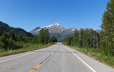

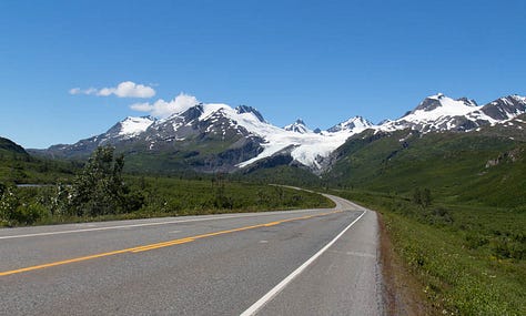
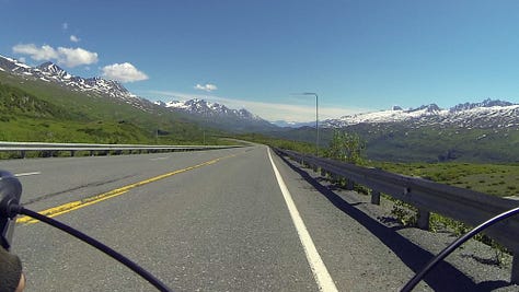
Near the top of Thompson Pass, the Worthington Glacier claws steeply out of a mile high ridge system. I could stop and check it out, or I could worry about refilling my damn water. I had half a bottle left, and was betting on something at the bottom of the other side. There were two more miles to go in the hot alpine sun before reaching the summit. I made it there and looked around the mountaintops, which spread out in a full panorama. Here, the highway descends steeply for 2,600 feet to sea level. I looked at the descending road ahead with a familiar sense of foreboding.
The top of any big bike descent, or river rapid, or scuba dive, always drives me treacherously out of the boredom of my comfort zone and into the thrill of the unknown. I never know what is ahead. And I’m not always confident that I can get through it. But I think my fear is what makes me feel even more connected to the task at hand. It could mean hitting a rock at 30mph and crashing on the road. It could mean worse. But despite the risks, I’m drawn to it. This road is horrifying, and horrifying is awesome.
I went flying down the top of the pass for a mile amidst huge green mountains and blue skies. The road went around a loop, and kept going steeply down the mountain. I went fast into the grade and headwind for 10 minutes before I reached the top of Keystone Canyon. Here, the tunnel wind blew through the canyon, forcing me to a crawl. I was out of water, 20 miles from the town, riding along the bends and turns of the canyon. At least the scary part of it was over.
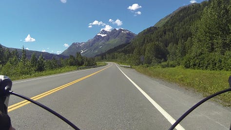

I came around a turn to Bridal Vail Falls, then Horsetail a minute later. The cool moisture got to me. Dammit, I need water! I had left my purifying pills with the rest of my gear in storage, because why would I need them on this tour?
The road turned west towards the town after the canyon, and the headwind was unrelenting. Valdez was 15 miles away. I WANT WATER FOR FUCKS SAKE! Finally, I saw a convenience store across from the airport.
I drank a liter of Gatorade and sat outside in the shade, savoring the moment. I am hydrating. Life is good.
No longer feeling weak from thirst, I could enjoy the last few miles of this tour. Numerous ragged sawtooth mountains lined the south end of the valley above the Lowe River and the Valdez Marine Terminal, the big oil port across the bay. Yes, that one. This town was in interesting mix of tourism, local fishermen, and oil industry workers. And on this day, the local DOT was making the most of the hot, dry weather to pave the highway. I saw 5 road crews out, throwing down asphalt as fast as they possibly could.
Finally, I got to the town. I checked in at my hotel and arranged for Nickel to pick me up in Whittier tomorrow. I was exhausted, but not enough not to end this tour with a salmon dinner at the Fat Mermaid by the harbor. A guy with a guitar played Jimmy Buffet covers as I ate and watched the colors of the late day change across the water.
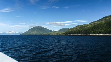
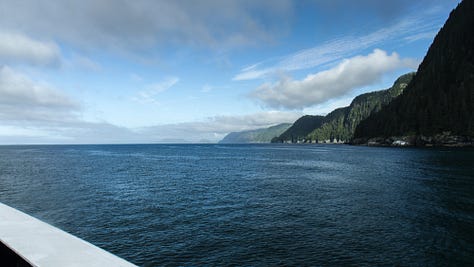
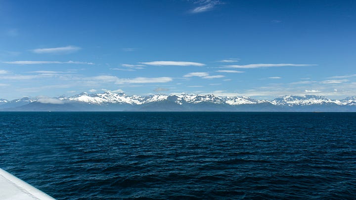
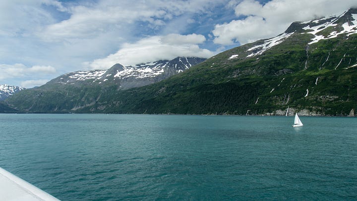
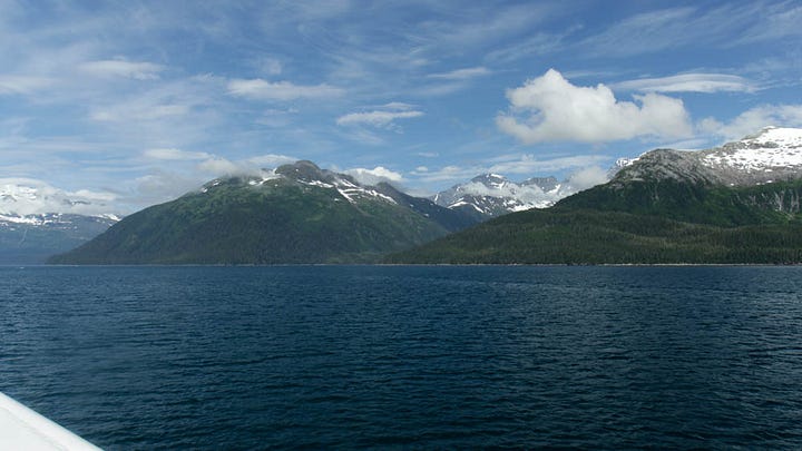
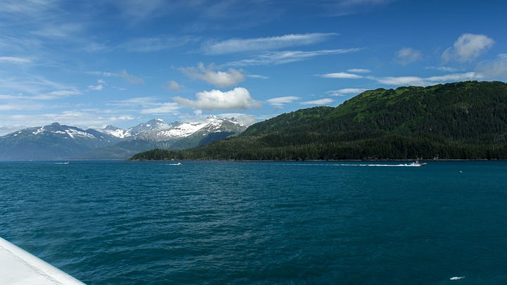
I loaded my bike on the ferry the next morning. It would take six hours to cross the Prince William Sound, but I barely noticed as the boat skirted a million waves along the pristine Alaskan shoreline.

This story continues on the Portage and Placer Rivers.


