The Pictured Rocks Thru-Hike
I was due for a return trip to the Pictured Rocks National Lakeshore to take a thru-hike of its 40 miles of pristine coastline. I hiked and kayaked the Chapel Basin section of it last year and knew I needed to come back, having barely seen a quarter of the shore. I got a backcountry permit in mid-September, hoping for a likelihood of clear weather on the edge of the shoulder season.
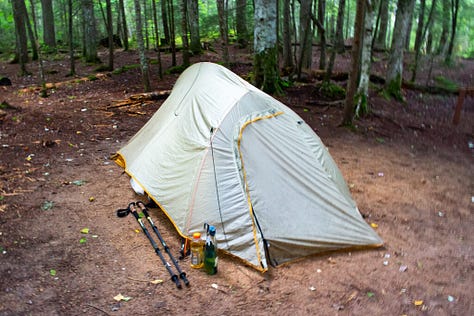
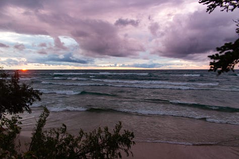
I arrived on the west end near Munising and parked at the Sand Point trailhead with a five day itinerary. It was the late afternoon after a six hour drive from Chicago. I began hiking three miles to my first campsite as the evening sun beamed through the trees. The forecast predicted some ugly weather in the coming days, but right now the day was calm. I reached the Cliffs campsite, set up my tent, and went back to the shore to watch the sun descend over Grand Island.

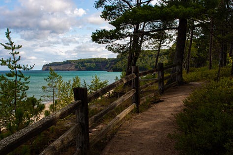
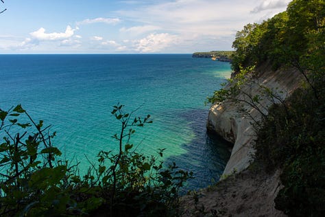
I woke up the next morning to the pelting of rainfall. The downpours had already started, and didn’t let up for three more hours. Which wasn’t the best timing, since the only available campsite I could find was fifteen miles away. As the sky finally lightened, I packed up and continued on the trail. Gradually it went along the beaches and steadily rising cliffside. Off in the distance, the high bluffs of the Chapel Basin gradually approached.
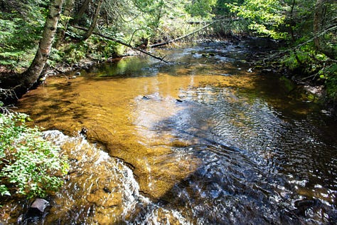
Crossing Mosquito Creek at midday and continuing along the Chapel Loop, I hiked the uneven terrain, already exhausted. Still, it was worth it to see all of these cliff points and overlooks again. Sunlight was spotty across the lake and isolated showers rumbled across the water some ten miles off. It was okay now, but was the kind of weather that could change in a flash. Passing Grand Portal Point, a rainstorm hit all at once, sending me and the day hikers rushing away from the exposed overlooks. Sheets of mid-afternoon rain blew in gusts, obscuring far off cliffs as the waves crashed and roared below. I paced along the winding cliffside trail, feeling wiped out and delirious. I needed to eat.
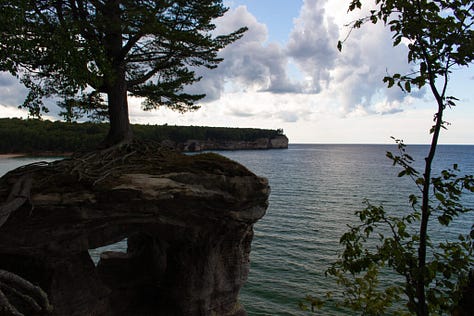
Stopping at Chapel Rock, a prominent site on the far end of the basin, I felt better after getting food and a much needed break. The rock and the cliffs beyond stood backlit in the clearing weather.


I really wanted to set up camp and stop. But since the sites around the Chapel Basin were in high demand, the only available site I could find was four miles further. Which would have been fine if my legs weren’t already sore and bordering on pain. Well, I can keep bitching about it on a downed tree, or I can get to my campsite before dark.
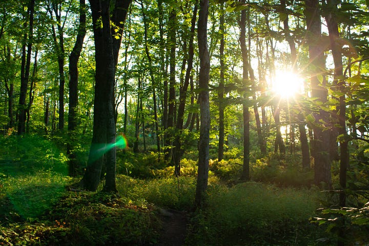
The sun was out again, beaming in golden tones through the forest in the late day. It was that time near the end of the warm season that’s not quite the summer or autumn, but it’s some of both. There were warm days, and yet, leaves started to wilt and turn yellow on the edges of their trees. Fiery maple leaves lay scattered about the trail. And though the sun was out, it felt dim, as if it was telling us that the bright season on this rocky coast was nearing its end.
With about three miles to go, my calf muscles were getting tighter than I was comfortable with. I stopped and looked at my right calf. Shit, it’s getting swollen! I needed to find my campsite and figure out what to fucking do. The Google Maps marker said it was a quarter mile back. What? Where the fuck is the campsite??? Did I miss it? Should I turn around and look for it again? With an hour of sunlight left and potentially fucked up calf muscles, I didn’t have the leisure of wasting any time. I charged on, exhausted and bordering on panic.
There was a connector trail about a mile ahead, and I at least needed to rule out that it wasn’t somewhere before that. So in a panic, I kept going. It turned out to be the right decision. Just a few hundred feet from where I lost my mind was a sign reading “Coves – Individual Campsites”. I hobbled along the side trail, found my site, and set up my tent.
Not sure what to do about a swollen, overworked calf, I asked some other hikers for advice – notably to read whether or not any of them seemed alarmed. None of them did. They said to take Ibuprofen and apply the RICE method. While there was no ice to be found, rest, compression, and elevation could be done. For good karma, a kilted fellow gave me an ace wrap to reduce the swelling.
This day was equal parts beautiful and ugly, but it was finally over.
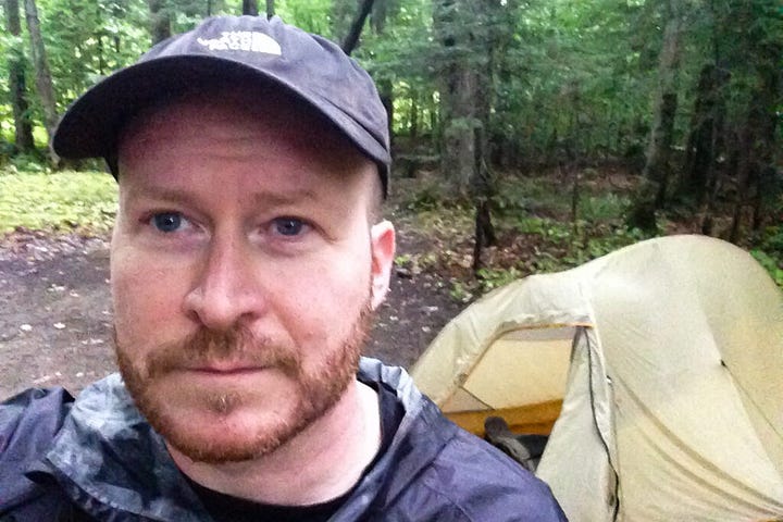
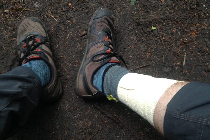
I crawled out of the tent the next morning after more rain, and was immediately shackled by my calf muscles tightening overnight. I expected it, but I was still surprised at how tight they were. My body was mad at me over yesterday. But was I well enough to press on? I was about to find out.
My trekking poles, I learned, could be used on my leg muscles like a foam roller. Which was absolute hell. With that and stretching, they loosened up enough for me to walk slowly. The good thing was that the next campsite was only 7.5 miles on a mostly flat trail along Twelvemile Beach. So as long as I took my time and took frequent breaks, I would probably be okay. I said happy trails to the kilted fellow and his friends and continued east.
Moving on slowly, I found a pace that didn’t seem to aggravate my calves any further. It allowed me to focus on other matters, like the wonderful fucking weather. I guessed that a low pressure system was passing on and in its place was a full day of brutal lake effect winds. I welcomed any chance to hike in the trees away from the brunt end of the shoreline wind.
For much of the day, I was exposed to 30mph gusts of wind blowing off of the shore. Waves farther off were easily breaking at 8 to 10 feet – the kind of conditions that will prompt a gale alert by the local weather service. I learned later that Lake Superior can get much worse. I wasn’t surprised that this area has its share of shipwrecks, earning it the maritime nickname “Graveyard Coast”.
At one point the trail went out of the woods, exposing me again to the wind as I passed by a cute thru-hiker going the other way. Over the loud gusts of wind, I yelled “Nice day for a hike!” She yelled back, “Oh yeah, it’s beautiful!” I wasn’t sure if her comment was from the same place of exhausted sarcasm, or if she really was able to see beauty in the madness.
I got to Sevenmile and set up camp, well protected from the wind. And my calves? Well, they weren’t better, but at least they didn’t get worse. That will have to do.
Then I woke up at 2am. The air felt dry. I looked out from my tent. Treetops were still, and the stars returned far above the forest canopy. I got back on my pad and slept soundly to the rush of Sevenmile Creek.
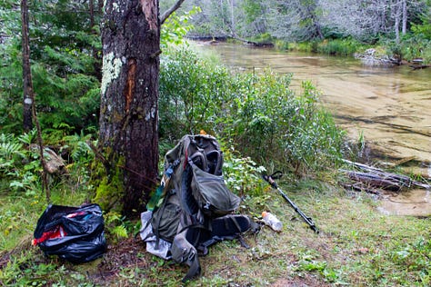
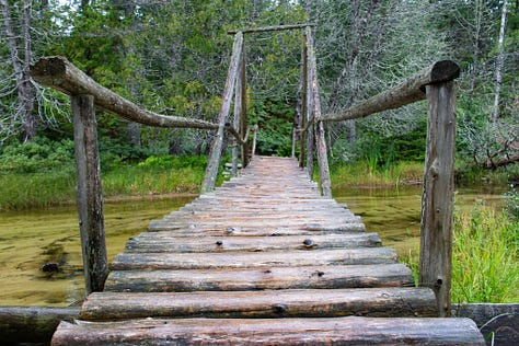
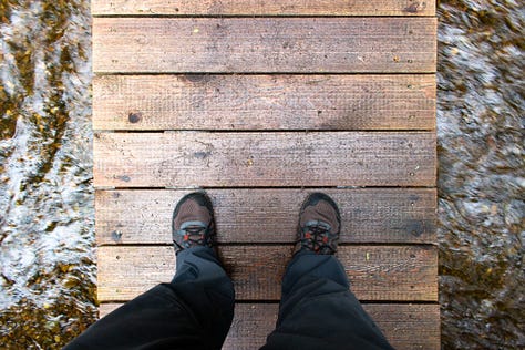

Right before heading out, I shared the firepit with Ashley, who was trying to light a bundle of damp kindling. She told me she was walking along like an old granny yesterday with her sore, blistered feet. Luckily, I figured out how to avoid blisters ever since the Camino, but soreness was another beast of its own. I think we all go through these challenges in backpacking as we sort it out, one problem at a time. Either from new gear, conditioning, and/or learning to ignore what isn’t perfect, we find out what works for us in the bigger picture. Today, I was in the granny club with her, walking half my normal speed.
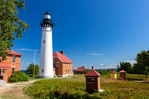
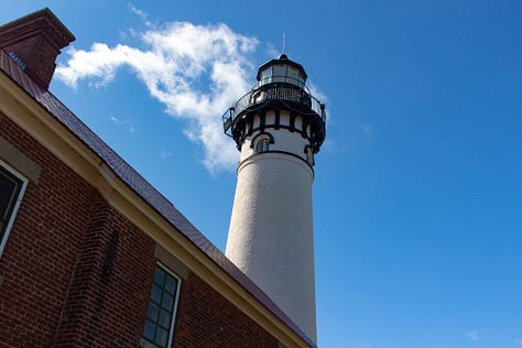
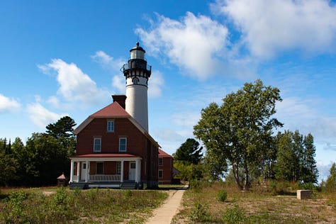
I got back on the trail, happy to have a calm sunny morning. The wind was backing off and the waves were smaller, glowing in the sunlight as it was breaking over the trees. Over the day, I passed bigger drive-in campsites as I approached Au Sable Point. At the top, the Au Sable Light Station looked over the water. It was built almost 150 years ago to alert ships of its presence at Au Sable Point, a notorious cliff point and sandstone reef. Without the light signal, ships would easily hit the shallow rocks extending into the water.
The trail continued in the trees with a bit of gain approaching Log Slide Overlook. My calves were improving, with greater range of motion and less pain. Finally, they were breaking in and starting to listen to me. Which would have been good, except now my feet were getting the same problem. The muscles around my heels especially were acting up. The good news was that the trek was almost over, so it didn’t really matter.
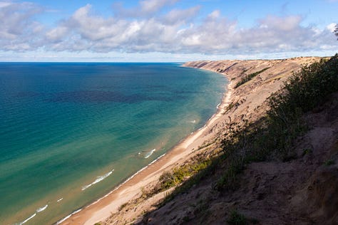
I reached the Grand Sable Dunes, which follow the coast for five miles before reaching the town of Grand Marias. At one time, logging companies used the dunes to roll their timbers down to the water and float them over to the town. Now, this area is protected land and the trees aren’t going anywhere.


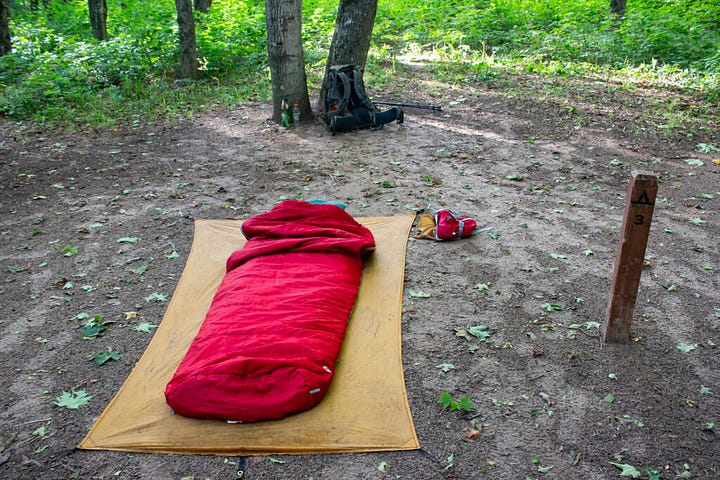
A short hike brought me to the Masse Homestead, a secluded campsite on the backside of the dunes. I needed to catch a shuttle on time at the end trailhead the next day, so I slept under the stars to save packup time. It wasn’t comfortable, but it got me out sooner. I packed up at 5am and hiked the first hour with a flashlight. The trail crossed the road, where I turned for a straighter walk to the visitor center. It was time to take the shuttle back to town and look for pizza.
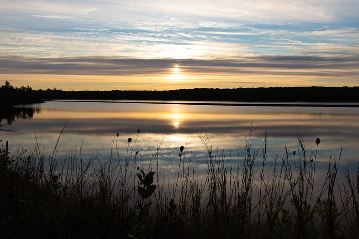
I reached the end with 90 minutes to spare as I waited for the shuttle. While I waited, I boiled water and made coffee. Just to relax. I recalled the last few days of my hike with the ranger, who was setting up a display area in front of the main building. She pointed me to an apple tree across the road. And so, my trip ended with me eating victory apples in the visitor center parking lot.


